Low Cloud Layer Blankets the Pacific Northwest in New Satellite Imagery
A NASA Earth Observatory image shows a low-lying cloud deck bringing an autumnal atmosphere to western Washington and Oregon, while higher coastal terrain poked above the clouds.

A blanket of low-lying clouds settled over parts of the Pacific Northwest, giving western Washington and Oregon an autumnal look in imagery highlighted by NASA's Earth Observatory.
According to the description accompanying the image, the cloud layer sat close to the ground across much of the lowland areas in the two states, while mountainous terrain near the coast remained tall enough to rise above the cloud cover, creating a striking visual contrast between the obscured valleys and the exposed peaks.
Low cloud layers of this kind are common in the Pacific Northwest during the transition into autumn, when cooling temperatures and moisture off the Pacific Ocean frequently combine to produce marine-layer cloud decks that can blanket coastal and inland lowlands for extended periods, sometimes lingering for much of the day before clearing.
NASA's Earth Observatory regularly publishes satellite imagery documenting weather and atmospheric phenomena, geological formations, and environmental changes around the globe, drawing on data from a range of the agency's Earth-observing satellites. The imagery is intended to give both scientists and the public a broader view of atmospheric and environmental conditions that are difficult to observe from the ground.
The Earth Observatory description did not specify the exact date the image was captured or which satellite instrument produced it, nor did it note any specific weather system responsible for the cloud layer's extent that day.
Sources
- Cloudy Cloak Over the Northwest — NASA Breaking News
EGazette summarizes reporting from multiple sources; follow the links for the originals.
Related articles

NASA's Picture of the Day Captures the 'Ghosts' of Five Ancient Supernovas
The September 24 Astronomy Picture of the Day from NASA highlights the faint, ghostly remnants left behind by five separate supernova explosions.
Report: NASA Modernizes Commercial Airline Systems
A report from NASA Breaking News sets out the main available details, with claims kept attributed to their sources.
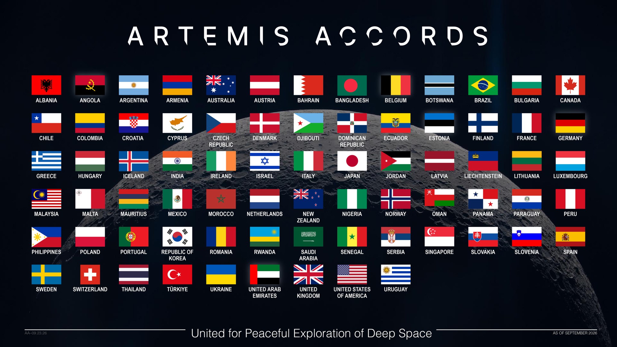
NASA Welcomes Croatia as 74th Signatory to Artemis Accords
Croatia signed the Artemis Accords during a ceremony in Zagreb attended by NASA and US State Department officials.
NASA selects far-infrared telescope as first in new Probe Explorers mission class
The PRIMA mission will study the history and evolution of the universe as the first spacecraft in NASA's new Probe Explorers program.

Did El Niño Help Turn Hurricane Polo Into One of the Season's Strongest Storms?
A BBC report examines how El Niño conditions may have contributed to the rapid intensification of Hurricane Polo in the Pacific.

Scientists Warn a Potential Super El Niño Could Contribute to 450,000 Deaths
Researchers say Global South countries would be hit hardest by the weather phenomenon expected to affect the planet from June through February.
Comments
Loading comments…