Hurricane Polo Strengthens to Category 5 Off Mexico's Pacific Coast
Hurricane Polo has strengthened into a Category 5 storm off Mexico's Pacific coast, with the US National Hurricane Center describing it as extremely dangerous.

Hurricane Polo has strengthened into one of the most powerful Pacific cyclones recorded in decades, reaching Category 5 strength as it moves near Mexico's southwestern coast.
The Miami-based National Hurricane Center described Polo as an "extremely dangerous" storm, reporting maximum sustained winds of 165 miles per hour. The storm is expected to skirt along Mexico's southwestern coastline rather than making a direct landfall, according to the center's assessment.
Category 5 is the highest classification on the Saffir-Simpson hurricane wind scale, reserved for storms with sustained winds exceeding 157 miles per hour, and typically capable of causing catastrophic damage in areas that experience a direct hit.
Authorities along Mexico's Pacific coast are likely to be monitoring the storm's path closely given its intensity, even as it is expected to remain offshore. Powerful storms of this scale can still generate dangerous surf, rain and wind impacts along coastlines they pass near without making direct landfall.
Sources
- Hurricane Polo churns off Mexico — France 24 — English
EGazette summarizes reporting from multiple sources; follow the links for the originals.
Related articles

Hurricane Polo downgraded but remains 'very powerful' off Mexico's coast
Hurricane Polo has weakened but remains a powerful storm in the Pacific Ocean, fueled by warm waters linked to El Nino.
Typhoon Dujuan kills at least four in Japan, triggers landslides near Tokyo
Heavy rain and violent winds from Typhoon Dujuan left tens of thousands of homes without power and prompted rescue efforts across homes damaged by landslides.
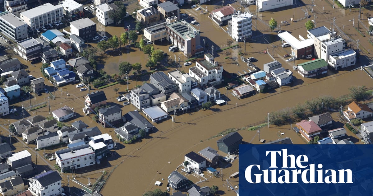
Typhoon Dujuan leaves at least two dead and thousands without power in Japan
The storm triggered landslides and travel disruption while cutting power to nearly 50,000 homes near Tokyo, authorities said.
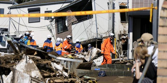
Typhoon Dujuan: at least two dead near Tokyo, warnings gradually lifted
More than 1.6 million residents had been called to evacuate before the typhoon moved away from the Japanese coast.
Typhoon Dujuan Kills Two in Japan, Causes Travel Chaos Near Tokyo
The storm is moving northeast away from Japan's eastern coast into the Pacific after leaving a path of destruction.
Study Finds Current El Nino Could Cause Over 450,000 Heat-Related Deaths
University of Chicago researchers estimate the current El Nino event could cause around 451,000 heat-related deaths, though targeted emergency measures could prevent tens of thousands of them.
Comments
Loading comments…