UN General Assembly Votes to Phase Out Mercator Map in Favor of Equal Earth Projection
A Togo-sponsored resolution calls for retiring the 16th-century Mercator map, which distorts Africa's size relative to other landmasses, in favor of the 2018 Equal Earth design.

The United Nations General Assembly has voted to adopt a resolution calling for the world to formally phase out the traditional Mercator map of the globe, according to The Guardian, in favor of a projection that more accurately represents the size of Africa.
The resolution, sponsored by Togo, was approved during a session at UN headquarters in New York, The Guardian reported. The vote officially retires the 16th-century Mercator projection in favor of a map based on the 2018 Equal Earth design.
The Mercator projection, developed by Flemish cartographer Gerardus Mercator in 1569, has long been criticized for distorting the relative sizes of continents, particularly by making regions near the poles appear larger and those near the equator appear smaller than they actually are. According to the source, this distortion has resulted in Africa being depicted as similar in size to Greenland on Mercator-based maps, despite Africa being significantly larger in reality.
The Equal Earth projection, created in 2018, is designed to more accurately reflect the true proportional sizes of landmasses across the globe, according to the report.
Details on the specific timeline for implementation of the new map standard, as well as which UN bodies or member states will be required to adopt it, were not specified in the available source material.
Sources
- UN votes to adopt new world map that shows Africa’s true scale — The Guardian — World
EGazette summarizes reporting from multiple sources; follow the links for the originals.
Related articles

UN warns Russia's war on Ukraine threatens global food security
Disruptions to Ukrainian agricultural exports are already affecting countries that depend on those supplies, the UN says.

Pezeshkian Addresses UN General Assembly Amid Iran-US Tensions
Iran's president delivered his first UN address since the US and Israel struck his country, a day after President Trump warned Washington could 'annihilate' the Islamic Republic.
France, UK and Denmark press Russia at UN Security Council over Ukraine war
Foreign ministers warned of Russian hybrid attacks across Europe and pledged continued support for Ukraine through the winter.
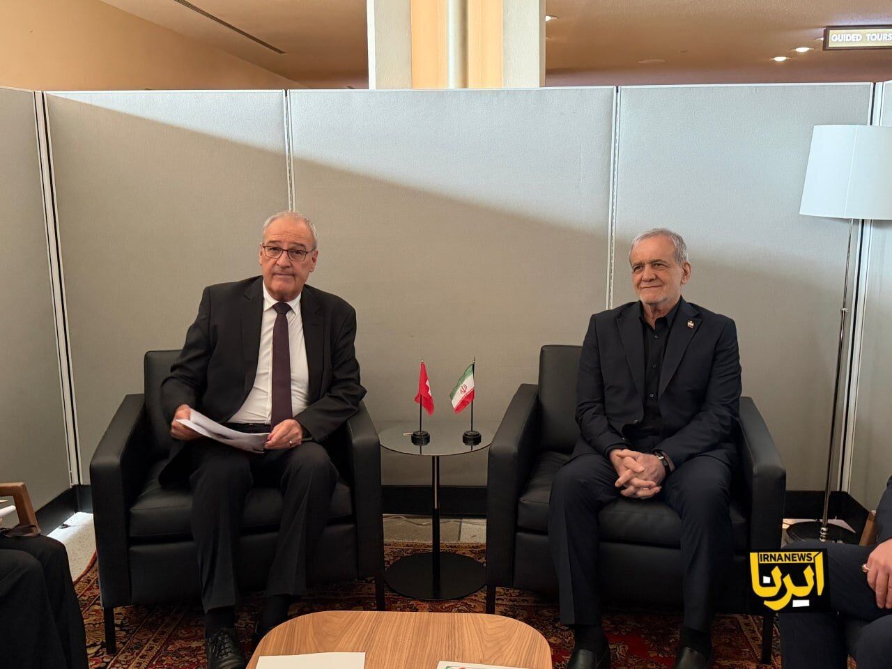
Pezeshkian Holds First New York Bilateral Meeting With Swiss President
Iranian President Masoud Pezeshkian met with Swiss President Guy Parmelin in his first round of bilateral talks during his visit to New York.
More Than 50 World Leaders to Skip UN General Assembly This Year
Xi Jinping, Vladimir Putin and several other heads of state are among more than 50 leaders absent from this year's UN General Assembly, citing illness, domestic matters and scheduling conflicts.
Erdogan meets Armenian prime minister on sidelines of UN General Assembly
The Turkish president and his Armenian counterpart held closed-door talks in New York as normalization efforts between the two countries continue.
Comments
Loading comments…