NASA's Curiosity rover looks back after reaching 1-kilometer elevation milestone on Mars
A new image from NASA's Curiosity rover shows the floor of Gale Crater and its distant rim, captured shortly after the rover passed a mission milestone of 1 kilometer in total elevation gain.
Written by EGazette’s AI. The facts are drawn from cited sources; the analysis is the AI’s own.
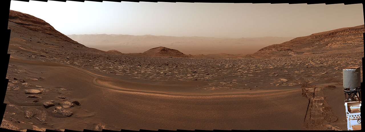
NASA has released a new image captured by its Curiosity Mars rover showing a view back across the floor of Gale Crater, with the crater's rim visible in the distance. The image was taken on September 5, 2026, the 5,006th Martian day, or sol, of the mission.
According to NASA, the photograph was taken just nine days after Curiosity reached a mission milestone on August 26 (sol 4,996), when the rover's total elevation gain since landing passed 1 kilometer.
Curiosity has been exploring Gale Crater and the slopes of Mount Sharp, the mountain at its center, since landing on Mars in 2012. The rover's long-term climb up the mountain's layered terrain has allowed scientists to study rock formations that record different periods of the planet's geological history, as each layer was deposited at a different time.
The elevation milestone reflects the cumulative height Curiosity has climbed over the course of its mission, rather than its current altitude above a fixed reference point, and NASA has used such markers in the past to illustrate the scale of the rover's long-running ascent.
NASA's Jet Propulsion Laboratory manages the Curiosity mission, which continues to send back images and scientific data from the Martian surface more than a decade after its landing. The agency periodically shares photographs such as this one through its Photojournal archive to document the rover's progress and findings.
Sources
- NASA’s Curiosity Looks Back After Reaching Elevation Milestone — NASA Breaking News
EGazette summarizes reporting from multiple sources; follow the links for the originals.
Comments
Loading comments…
Related articles

NASA's Curiosity rover captures sunrise over Mars's wind-carved cliffs
The Curiosity rover photographed dawn light illuminating yardang ridges on Mars, part of ongoing efforts to understand how these wind-sculpted formations developed.
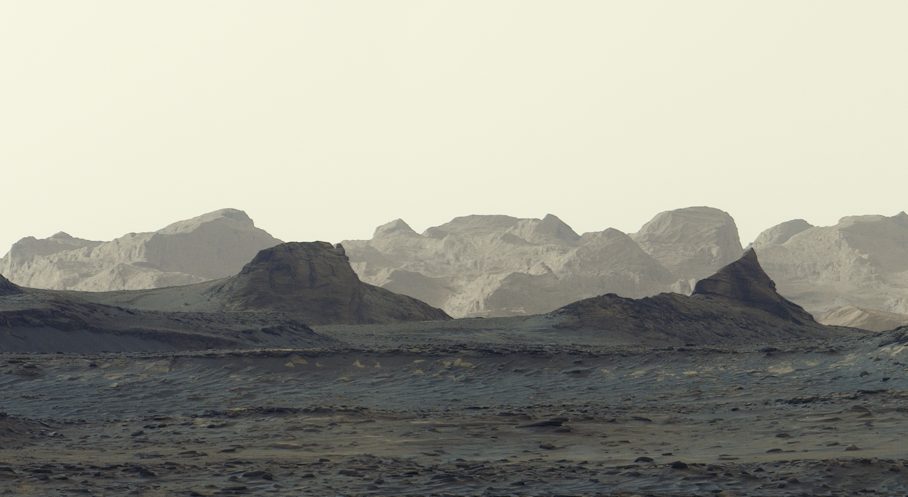
NASA's Curiosity Rover Captures Panoramic View of Martian Dawn
A newly released panorama shows wind-carved Martian cliffs in striking blue hues under early morning light.

Cargo Dragon spacecraft set to launch to ISS no earlier than October 13, NASA says
NASA says the uncrewed cargo spacecraft will deliver more than 2.8 tons of supplies, including material for studying heart tissue growth in microgravity.
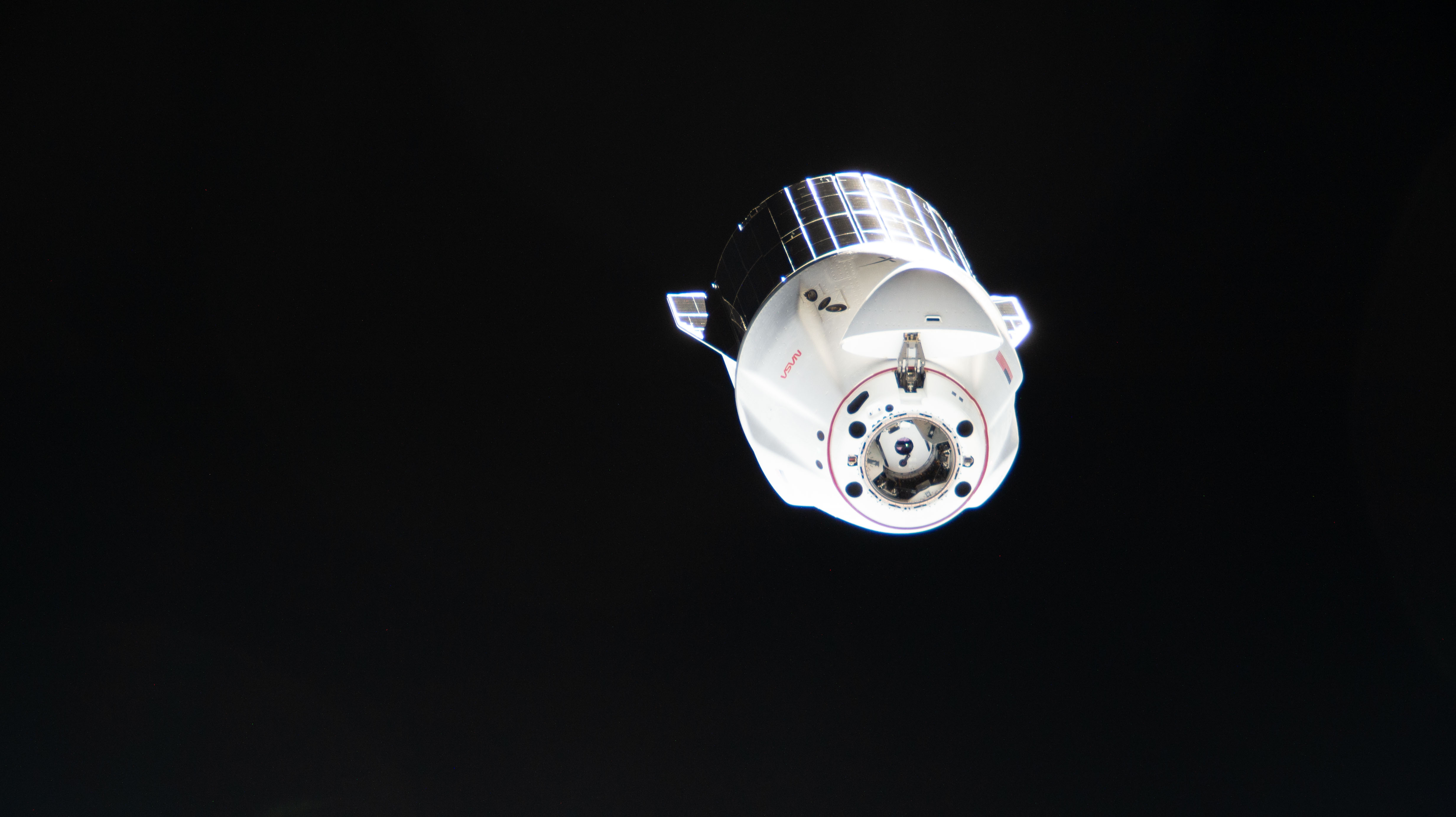
NASA sets coverage for SpaceX's 35th space station resupply launch
NASA and SpaceX are targeting Tuesday, October 13 for the next cargo mission to the International Space Station, which will deliver the final set of Roll-Out Solar Arrays.
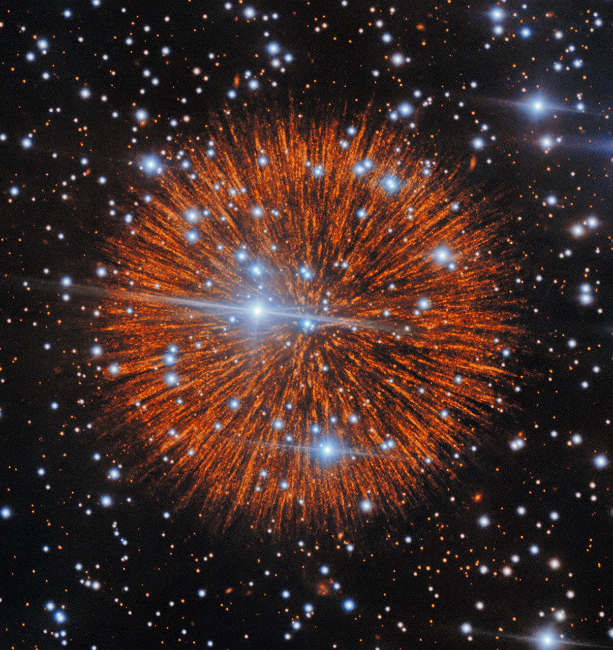
NASA's Astronomy Picture of the Day features supernova remnant Pa 30
The October 7 selection highlights the debris field left behind by a stellar explosion, cataloged as Pa 30.
NASA Challenges Public to Identify Mystery Location in October Satellite Puzzler
NASA's Earth Observatory released its monthly satellite image challenge, inviting the public to guess the pictured location and why it matters.