UN Adopts New World Map Standard, Addressing Longstanding Distortion of Africa's Size
Al Jazeera reports the United Nations has moved away from a centuries-old map projection that made Africa appear smaller than it actually is.

The United Nations has changed how it displays Africa on maps, according to a report by Al Jazeera, addressing a distortion that has persisted in the world's most commonly used map projection for roughly 450 years.
The report states that the widely used map, known as the Mercator projection, has long made Africa appear smaller relative to other continents than its actual land area. The Mercator projection, developed in the 16th century for maritime navigation, is known among cartographers to distort the size of landmasses, particularly enlarging areas near the poles while shrinking those near the equator, such as Africa.
According to Al Jazeera, the UN's shift represents an effort to correct this long-standing visual inaccuracy, which has shaped global perceptions of Africa's relative size and geographic significance for centuries.
Al Jazeera did not provide further technical details in the excerpt regarding the specific alternative projection adopted or the scope of its implementation across UN materials.
The change comes amid broader, longstanding discussions among cartographers and geographers about the limitations of traditional map projections and their influence on public understanding of global geography.
Sources
- The Map Was Lying To You: Why the UN Just Changed How We See Africa — Al Jazeera — All
EGazette summarizes reporting from multiple sources; follow the links for the originals.
Related articles
Africa Renews Push for Permanent Seat on UN Security Council
Despite representing 54 countries at the United Nations, Africa still has no permanent seat on the powerful Security Council.
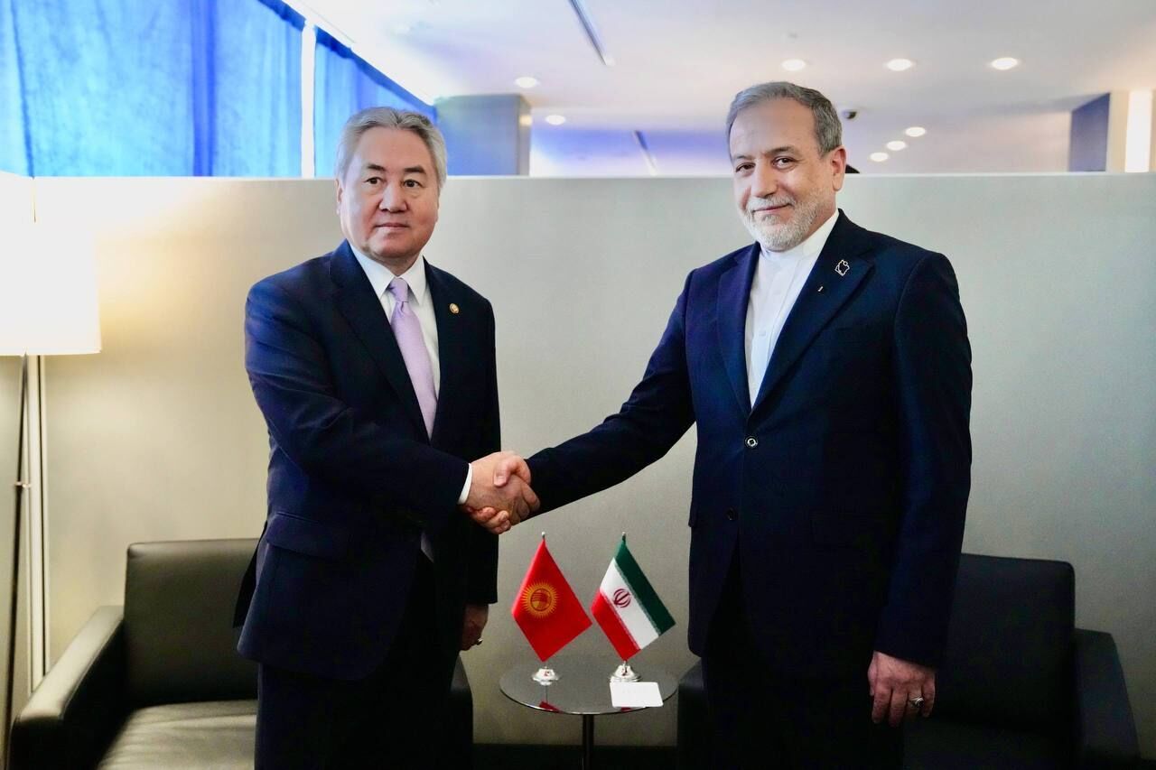
Iranian, Kyrgyz foreign ministers meet on sidelines of UN General Assembly
The two top diplomats discussed key bilateral and regional issues during talks in New York, Iran's IRNA news agency reported.
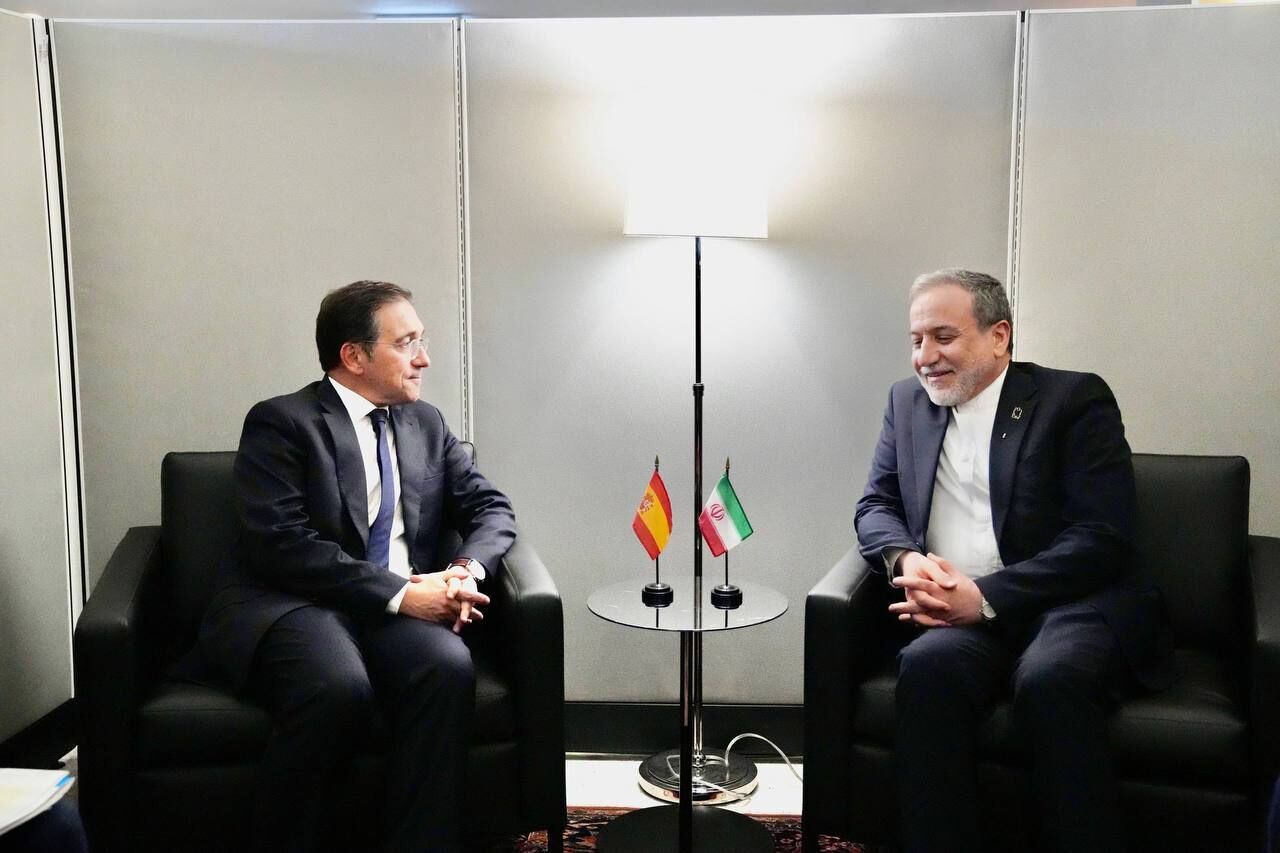
Iran's Araghchi says Europe must confront US 'aggression'
Iran's foreign minister raised the issue during talks with his Spanish counterpart on the sidelines of the UN General Assembly, Iran's IRNA reported.

Netanyahu defends Israeli military actions as delegates walk out of UN speech
The Israeli prime minister called those who left the chamber before his UN General Assembly address 'moral cowards', the BBC reported.

Susan Sarandon, Hannah Einbinder among about 100 arrested at Netanyahu UN protest
The actresses were arrested along with roughly 100 other protesters outside the United Nations ahead of the Israeli prime minister's General Assembly speech, Al Jazeera reported.
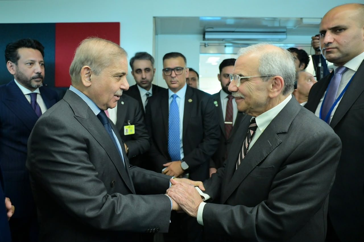
Pakistan, Lebanon prime ministers review bilateral ties on sidelines of UN General Assembly
PM Muhammad Shehbaz Sharif met Lebanese counterpart Nawaf Salam at the UNGA's 81st session to discuss strengthening relations between the two countries.
Comments
Loading comments…