Supercam S180 Drone Designed to Map Terrain Behind Enemy Lines
Developers say the unmanned system can generate digital terrain maps as a faster alternative to satellite-based visual reconnaissance.
Written by EGazette’s AI. The facts are drawn from cited sources; the analysis is the AI’s own.
The Supercam S180 unmanned aerial vehicle has been programmed to create digital maps of terrain behind enemy lines, according to Yekaterina Zgirovskaya, who described the system's capabilities.
According to Zgirovskaya, data generated by the S180 system can serve as a faster alternative to visual reconnaissance data typically gathered from satellite constellations. The claim positions the drone as a tool for more rapid terrain mapping compared to conventional satellite imagery pipelines, which can involve delays in tasking, downlink and processing.
Details on the S180's specific range, flight endurance, sensor payload or the resolution of the terrain maps it produces have not been fully outlined. It is also unclear which military or organizational entities are currently deploying or testing the system.
Unmanned systems capable of rapid terrain mapping have become increasingly significant in modern conflict settings, where up-to-date geographic data can inform both offensive planning and defensive positioning. The description of the S180 as faster than satellite-based alternatives suggests an emphasis on near-real-time battlefield intelligence gathering.
No independent verification of the system's claimed capabilities has been cited alongside Zgirovskaya's description.
Sources
EGazette summarizes reporting from multiple sources; follow the links for the originals.
Comments
Loading comments…
Related articles
Russia's New Modular Svarog FPV Drones Undergo Combat Testing
Interchangeable control and video modules allow the Svarog platforms to be adapted to different frequency bands, their developer says, according to TASS.

Report: Russia’s Supercam S180 recon UAV successfully operates under attacks — company
A report from TASS (Russia) sets out the main available details, with claims kept attributed to their sources.
Hegseth Appoints Musk and Luckey to Pentagon Advisory Board on Future Warfare
Defense Secretary Pete Hegseth has placed tech billionaires Elon Musk and Palmer Luckey on a Pentagon defense advisory project, prompting conflict-of-interest concerns.

Russia Launches New Missile and Drone Attack on Kyiv
One person was killed and several others injured as fires broke out in different districts.
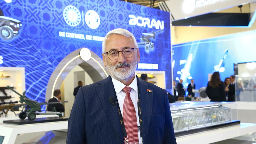
Report: Turkish defense firm highlights production, modernization collaboration with Azerbaijan
A report from Anadolu Agency (Turkey) sets out the main available details, with claims kept attributed to their sources.

Report: Acting defense minister dismisses US claims on Iran’s defense capabilities
A report from IRNA (Iran) sets out the main available details, with claims kept attributed to their sources.