Satellite Captures Rare Clear View of Volcanic Activity at Remote Mount Michael
NASA reported that a break in persistent cloud cover allowed satellite imagery to reveal thermal activity at the remote South Atlantic volcano as the region's winter season wound down.

NASA's Earth Observatory reported that a satellite image captured a bright thermal signature at Mount Michael, a volcano located on the remote Saunders Island in the South Atlantic, after skies cleared during the tail end of the Southern Hemisphere's winter season.
According to the NASA report, the region is typically obscured by persistent cloud cover, making direct satellite observation of surface activity at the volcano difficult for much of the year. The clearing skies allowed for a rare unobstructed view of volcanic activity at the site.
Mount Michael is a stratovolcano situated on Saunders Island, part of the South Sandwich Islands, an isolated archipelago in the South Atlantic Ocean. The area's remoteness and challenging weather conditions have historically limited ground-based monitoring, making satellite imagery a key tool for tracking activity at the volcano.
NASA did not report any immediate hazards associated with the observed activity. The agency's Earth Observatory regularly publishes satellite imagery documenting natural phenomena, including volcanic activity, across remote and inaccessible regions of the globe.
Sources
- A Bright Spot at Mount Michael — NASA Breaking News
EGazette summarizes reporting from multiple sources; follow the links for the originals.
Related articles
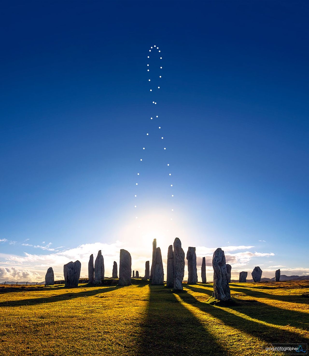
NASA's Astronomy Picture of the Day Features Analemma Over Scotland's Callanish Stones
The September 20, 2026 edition of NASA's long-running APOD series highlights a composite image showing the sun's yearly path above the ancient Callanish Stones.

BBC's 'Tech Now' Follows NASA Scientists Studying Solar Eclipse in Iceland
A new episode of the BBC technology programme features reporter Adrienne Murray accompanying NASA researchers examining a rare total solar eclipse.
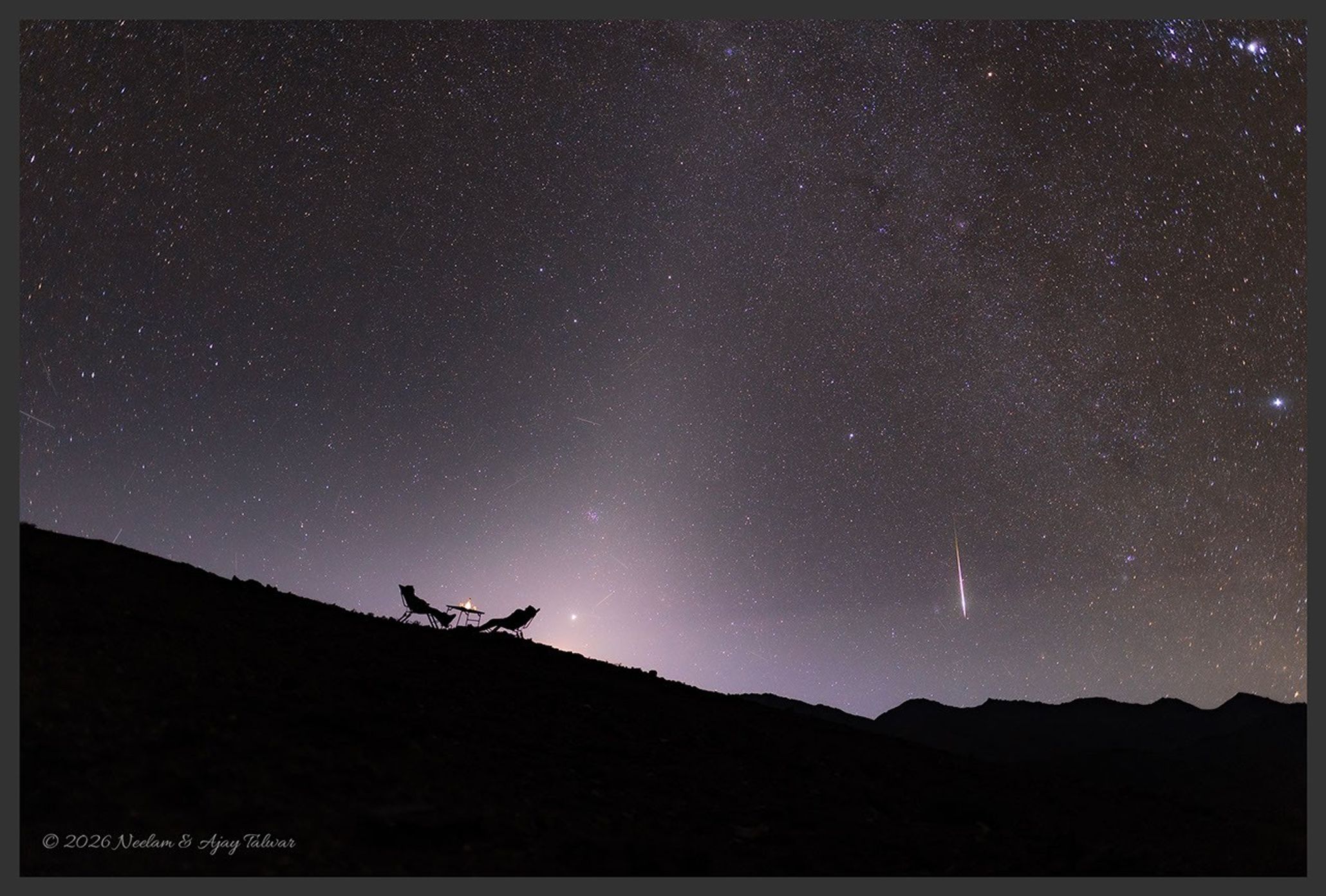
NASA’s Astronomy Picture of the Day to Feature “A Zodiacal Night” on September 19, 2026
The long-running NASA APOD series is set to showcase a night-sky image highlighting the zodiacal light, according to the program’s website.
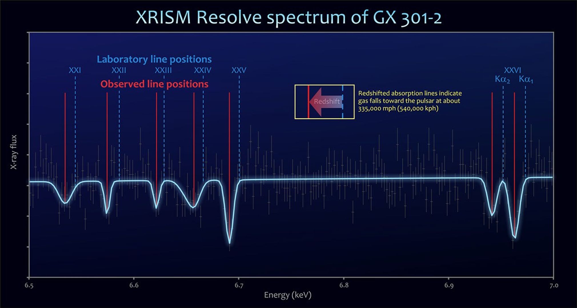
XRISM Mission Observes Pulsar Capturing Stellar Wind From Companion Star
Astronomers using the Japan-led XRISM X-ray observatory say they have directly observed a giant star's outflow being captured by a compact companion, powering intense X-ray flares.
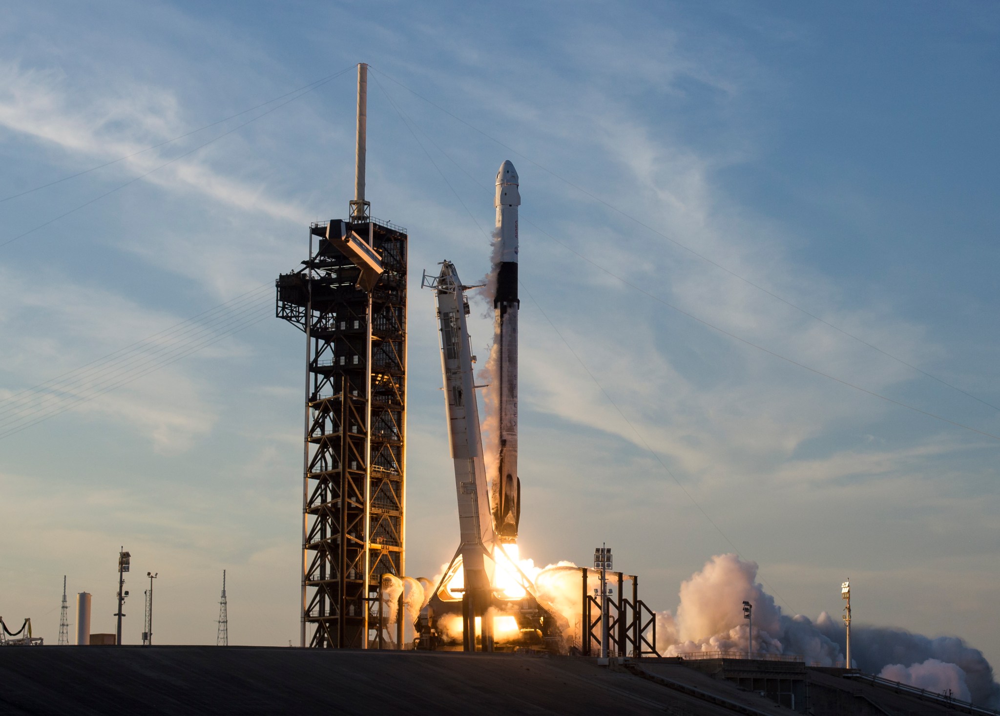
NASA Awards SpaceX Three Additional Crew Missions to Space Station
Contract modification extends SpaceX’s role in ferrying astronauts to the International Space Station under NASA’s Commercial Crew Program
NASA's Nancy Grace Roman Space Telescope Captures First Light
The new observatory, designed to hunt for thousands of exoplanets and probe dark matter and dark energy, has recorded its first cosmic images, according to a report by Scientific American.
Comments
Loading comments…