New satellite technology aims to detect flash floods before they strike
Machine learning and satellite imagery could provide earlier warning of dangerous flooding events.

Researchers are developing a system that uses satellite data and artificial intelligence to detect flash floods earlier than current warning methods, according to The Verge. The technology analyzes satellite imagery to identify conditions that precede sudden flooding, potentially giving residents more time to evacuate.
Flash floods are particularly dangerous because they can develop rapidly with little warning. The new system represents one of several efforts to improve flood prediction and give communities better tools to prepare for and respond to severe weather events.
Sources
EGazette summarizes reporting from multiple sources; follow the links for the originals.
Related articles

Nepal floods expose gaps in cross-border early warning systems, experts say
Disasters in the Himalayas highlight the need for improved coordination between nations on hazard alerts.
Influencers accused of exploiting Nepal flood survivors for social media engagement
Content creators face criticism for using disaster footage to boost followings rather than provide genuine aid.
Tunisia Floods Disrupt Capital as Heavy Rain Traps Motorists and Residents
Heavy rainfall has flooded streets in Tunis, stranding vehicles and residents as the city grapples with recurring drainage and preparedness issues.
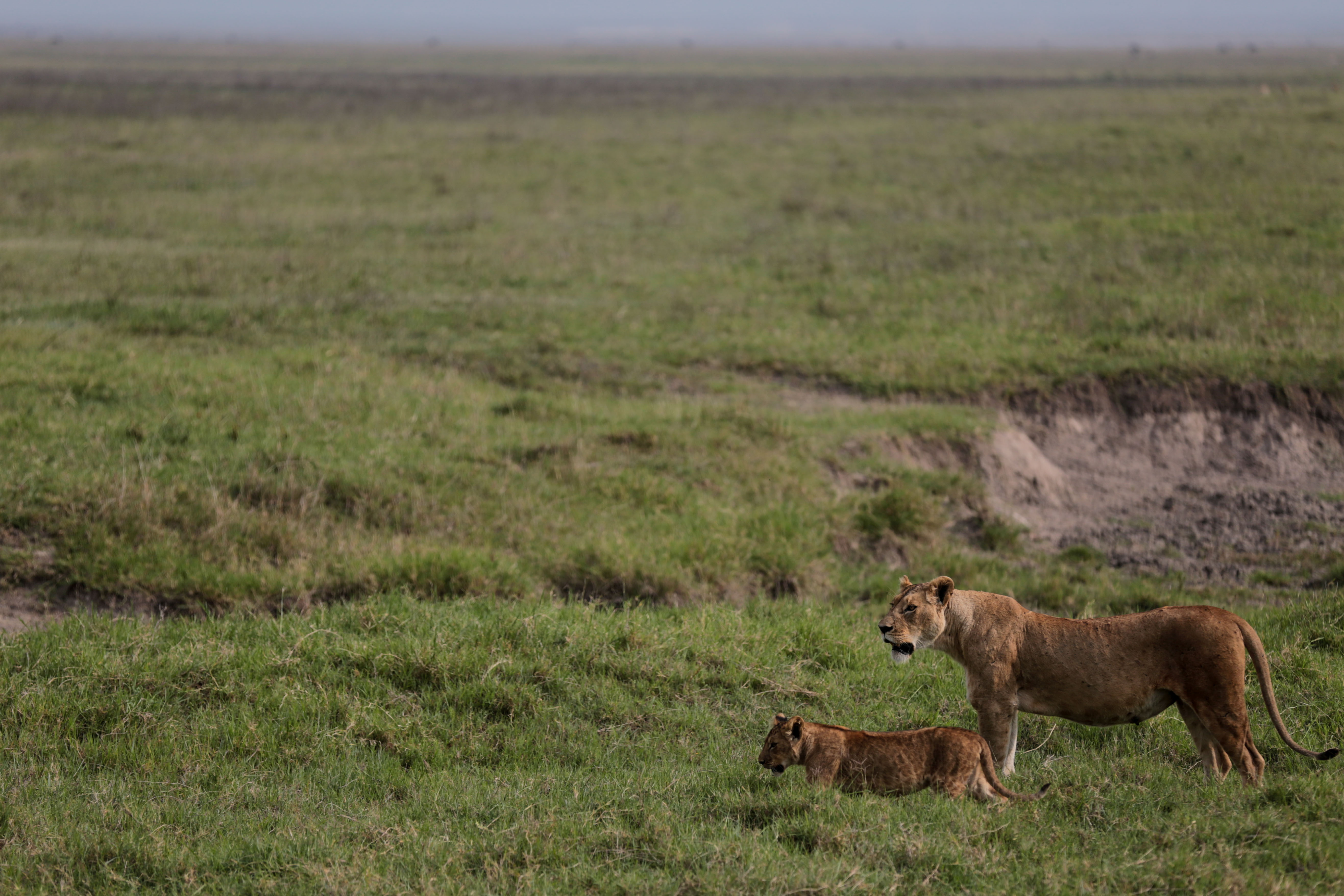
Poison suspected in deaths of ten lions at Tanzania game reserve
The lions were discovered dead in the Ngorongoro Conservation Area, prompting wildlife officials to investigate.

European Space Agency Launches Two Satellites to Monitor Climate Change
The new satellites will help scientists study the effects of climate change, with one instrument dedicated to observing plant life

Exceptional Discovery of Denisovan Fossils in a Southwestern Chinese Cave
Extremely rare remains of these Asian "cousins" of Neanderthals have been unearthed alongside stone tools, shedding new light on their way of life.
Comments
Loading comments…