New satellite technology aims to detect flash floods before they strike
Machine learning and satellite imagery could provide earlier warning of dangerous flooding events.

Researchers are developing a system that uses satellite data and artificial intelligence to detect flash floods earlier than current warning methods, according to The Verge. The technology analyzes satellite imagery to identify conditions that precede sudden flooding, potentially giving residents more time to evacuate.
Flash floods are particularly dangerous because they can develop rapidly with little warning. The new system represents one of several efforts to improve flood prediction and give communities better tools to prepare for and respond to severe weather events.
Sources
EGazette résume des articles de plusieurs sources ; suivez les liens pour les originaux.
Articles liés
Des influenceurs accusés d'exploiter les victimes des inondations au Népal pour l'engagement sur les réseaux sociaux
Des créateurs de contenu sont critiqués pour avoir utilisé des images du désastre pour augmenter leurs abonnés plutôt que pour fournir une aide véritable.
Les inondations en Tunisie perturbent la capitale alors que les pluies torrentielles piègent automobilistes et résidents
Des pluies abondantes ont inondé les rues de Tunis, immobilisant des véhicules et des résidents alors que la ville fait face à des problèmes récurrents de drainage et de préparation aux catastrophes.
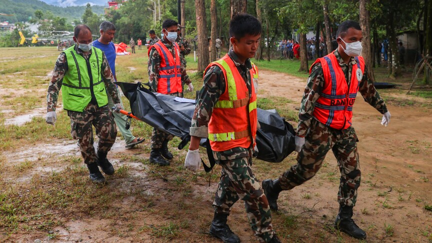
Le bilan des inondations éclair à la frontière népalaise dépasse les 1 400 morts
Le Népal signale plus de 1 400 décès suite aux inondations éclair le long de sa frontière, tandis que la Chine confirme 43 morts et 519 disparus dans la même catastrophe.

La réaction aux inondations au Népal suscite des interrogations face aux enjeux climatiques
Un article d'opinion d'Al Jazeera s'interroge sur la raison de la réaction internationale limitée aux inondations au Népal.

Le bilan des inondations au Népal dépasse les 1 400 morts avec plus de 6 000 disparus
La catastrophe a laissé onze Russes portés disparus, selon l'ambassade de Russie.

Le Pakistan offre une assistance technique au Népal face à la crise des inondations
La ministre pakistanaise du changement climatique a exprimé son soutien lors d'une réunion avec l'ambassadrice du Népal mercredi.
Comments
Loading comments…