Low Cloud Layer Blankets the Pacific Northwest in New Satellite Imagery
A NASA Earth Observatory image shows a low-lying cloud deck bringing an autumnal atmosphere to western Washington and Oregon, while higher coastal terrain poked above the clouds.

A blanket of low-lying clouds settled over parts of the Pacific Northwest, giving western Washington and Oregon an autumnal look in imagery highlighted by NASA's Earth Observatory.
According to the description accompanying the image, the cloud layer sat close to the ground across much of the lowland areas in the two states, while mountainous terrain near the coast remained tall enough to rise above the cloud cover, creating a striking visual contrast between the obscured valleys and the exposed peaks.
Low cloud layers of this kind are common in the Pacific Northwest during the transition into autumn, when cooling temperatures and moisture off the Pacific Ocean frequently combine to produce marine-layer cloud decks that can blanket coastal and inland lowlands for extended periods, sometimes lingering for much of the day before clearing.
NASA's Earth Observatory regularly publishes satellite imagery documenting weather and atmospheric phenomena, geological formations, and environmental changes around the globe, drawing on data from a range of the agency's Earth-observing satellites. The imagery is intended to give both scientists and the public a broader view of atmospheric and environmental conditions that are difficult to observe from the ground.
The Earth Observatory description did not specify the exact date the image was captured or which satellite instrument produced it, nor did it note any specific weather system responsible for the cloud layer's extent that day.
Sources
- Cloudy Cloak Over the Northwest — NASA Breaking News
EGazette résume des articles de plusieurs sources ; suivez les liens pour les originaux.
Articles liés

Hurricane Polo Rapidly Intensifies to Category 5 Off Mexico's Pacific Coast
Mexican authorities are on alert after the storm jumped from Category 1 to the maximum category in under 24 hours, though it is not expected to make landfall.

L’ouragan Polo se renforce à la catégorie 5 au large de la côte pacifique du Mexique
L’ouragan Polo s’est renforcé en une tempête de catégorie 5 au large de la côte pacifique du Mexique, le Centre national des ouragans des États-Unis le qualifiant d’extrêmement dangereux.

Le Mexique se prépare à l'arrivée de l'ouragan Polo alors que la tempête s'intensifie
L'ouragan Polo, décrit comme l'un des cyclones les plus puissants du Pacifique de ces dernières décennies, a déjà apporté des vagues dangereuses et des pluies abondantes sur les côtes du Mexique.

L'ouragan Polo se renforce en tempête rare de catégorie 5 au large du Mexique
Les prévisionnistes américains ont qualifié l'intensification rapide de la tempête de « véritablement remarquable » alors qu'elle se déplace au large de la côte mexicaine.
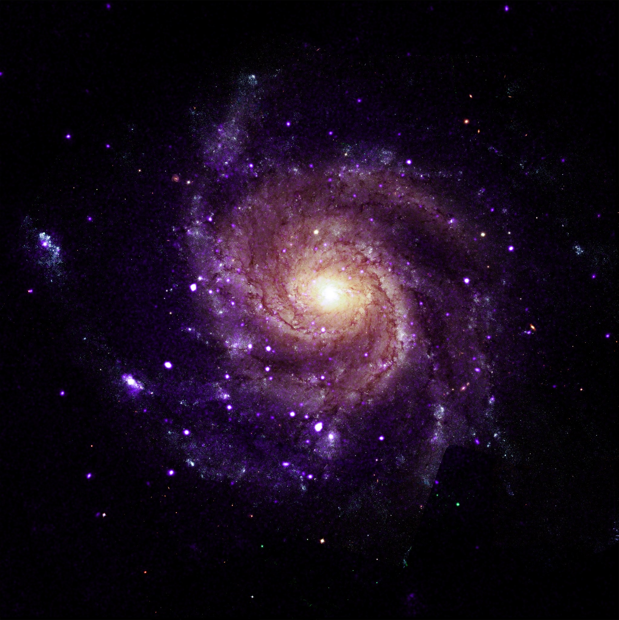
Rapport : Chandra de la NASA découvre des objets inhabituels dans la galaxie Pinwheel
Un rapport de NASA Breaking News expose les principaux détails disponibles, les affirmations étant conservées attribuées à leurs sources.

Mise à jour : Un astronaute de la NASA répondra aux questions des étudiants du New Hampshire
Un rapport de NASA Breaking News expose les principaux détails disponibles, les affirmations étant conservées attribuées à leurs sources.
Comments
Loading comments…