Landsat Satellite Captures Anak Krakatau Eruption in Indonesia
NASA imagery shows ash and volcanic gases rising from the small but active volcano situated between Java and Sumatra.

NASA has released a satellite image showing Anak Krakatau, a volcano located between the Indonesian islands of Java and Sumatra, emitting ash and volcanic gases, according to a report from NASA Breaking News.
The image was captured on Sept. 5, 2026, using the Operational Land Imager (OLI) aboard the Landsat 8 satellite, NASA said.
According to NASA, eruptions are a regular occurrence at Anak Krakatau. The agency described much of the volcano's activity as relatively mild, though it noted that the volcano occasionally produces more significant eruptions.
NASA did not provide additional details in the excerpt regarding the scale of this particular eruption or any potential impact on surrounding communities.
Anak Krakatau, whose name translates to "Child of Krakatoa," is known for its history of volcanic activity in the region. NASA's Earth-observing satellites, including Landsat 8, are regularly used to monitor volcanic activity and other natural phenomena around the world.
Sources
- Indonesia’s Anak Krakatau — NASA Breaking News
EGazette summarizes reporting from multiple sources; follow the links for the originals.
Related articles

NASA's Astronomy Picture of the Day Features Analemma Over Scotland's Callanish Stones
The September 20, 2026 edition of NASA's long-running APOD series highlights a composite image showing the sun's yearly path above the ancient Callanish Stones.

BBC's 'Tech Now' Follows NASA Scientists Studying Solar Eclipse in Iceland
A new episode of the BBC technology programme features reporter Adrienne Murray accompanying NASA researchers examining a rare total solar eclipse.
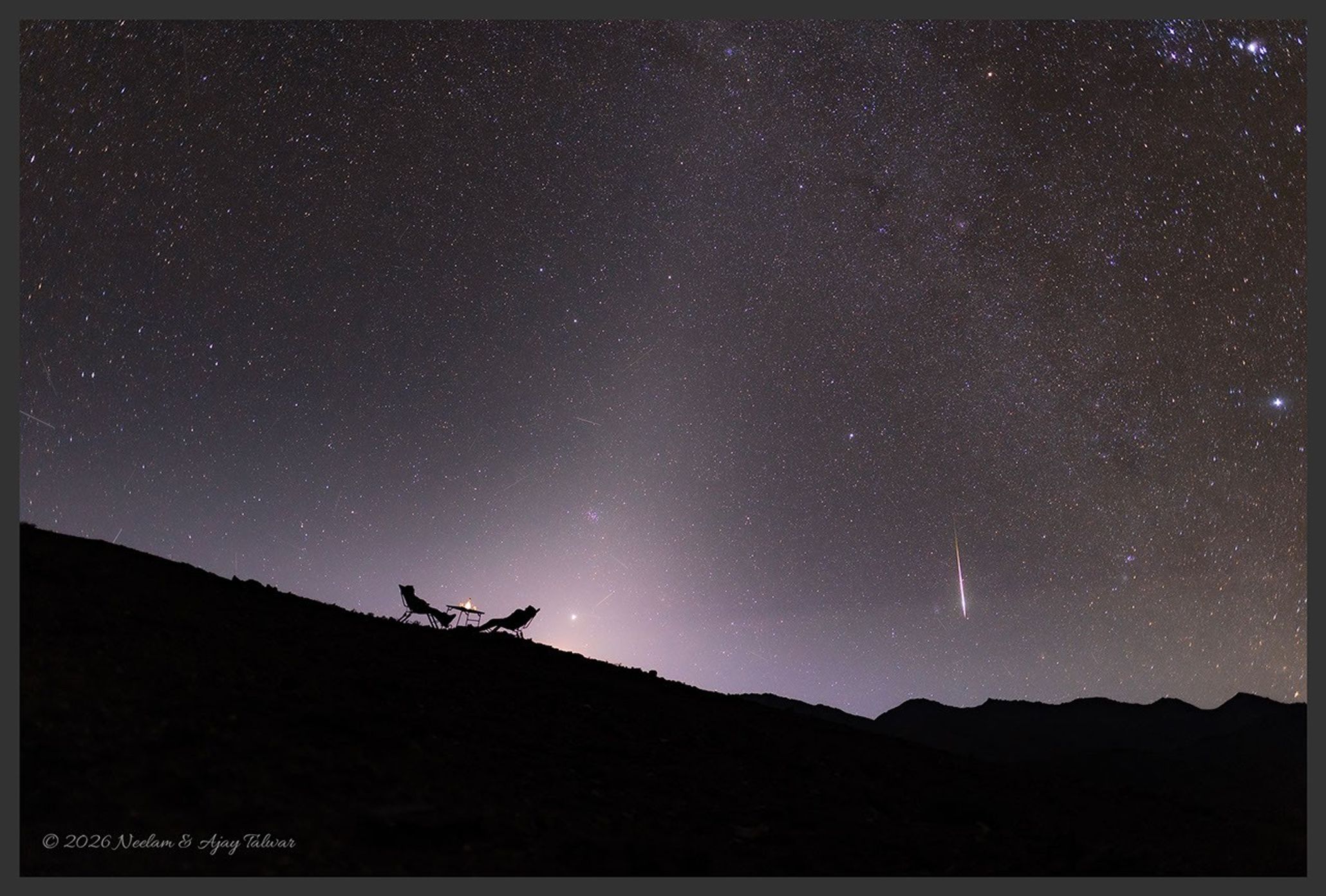
NASA’s Astronomy Picture of the Day to Feature “A Zodiacal Night” on September 19, 2026
The long-running NASA APOD series is set to showcase a night-sky image highlighting the zodiacal light, according to the program’s website.

XRISM Mission Observes Pulsar Capturing Stellar Wind From Companion Star
Astronomers using the Japan-led XRISM X-ray observatory say they have directly observed a giant star's outflow being captured by a compact companion, powering intense X-ray flares.

NASA Awards SpaceX Three Additional Crew Missions to Space Station
Contract modification extends SpaceX’s role in ferrying astronauts to the International Space Station under NASA’s Commercial Crew Program

NASA's Nancy Grace Roman Space Telescope Captures First Light
The new observatory, designed to hunt for thousands of exoplanets and probe dark matter and dark energy, has recorded its first cosmic images, according to a report by Scientific American.
Comments
Loading comments…