Google Earth Satellite Images Show Scale of Destruction in Southern Gaza
Updated satellite imagery released in late September, the first for parts of southern Gaza in two years, documents widespread destruction around Rafah, according to RFI.
Written by EGazette’s AI. The facts are drawn from cited sources; the analysis is the AI’s own.

Google Earth updated some of its satellite images of the Gaza Strip on September 27, with new visuals dated February 2026 covering mainly the southern part of the enclave, according to a report by RFI.
It had been two years since Google last made public satellite photos of this part of Palestinian territory, RFI reported. The American technology giant's satellite imagery now serves as evidence of the destruction of entire neighborhoods, particularly around Rafah, attributed in the report to the Israeli military.
Documenting the Aftermath
RFI's report frames the renewed imagery as a significant resource for assessing the scale of damage in areas of Gaza that have been difficult to independently verify through on-the-ground reporting, given access restrictions during the conflict. Satellite imagery has increasingly served as a tool for journalists, researchers, and human rights monitors seeking to document changes to the territory over time.
The report does not specify why Google had not updated imagery of this area for two years or whether further updates covering other parts of Gaza, including the north, are expected. It also does not detail the precise scale of destruction shown, beyond describing entire neighborhoods as affected, particularly around Rafah.
The update comes as reconstruction of Gaza remains a central topic in diplomatic discussions regarding the territory's future, with the extent of documented destruction likely to inform assessments of the scale of rebuilding required.
Sources
- Que disent les images de Gaza rendues publiques par Google? — RFI — Français
EGazette summarizes reporting from multiple sources; follow the links for the originals.
Comments
Loading comments…
Related articles
Palestinian killed, three hurt in strike on Gaza tent despite truce
A tent sheltering displaced people in Gaza was hit even as a ceasefire remains in place.
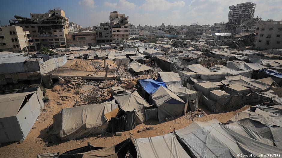
Gaza: NGO reports dire camp conditions, states Israel is moving 'Yellow Line'
A report from Deutsche Welle — English sets out the main available details, with claims kept attributed to their sources.
US Weighs Releasing Full Military Aid to Egypt Over Its Regional Role, Letter Shows
A State Department letter to Congress reviewed by Reuters indicates Washington is moving to bypass human rights conditions and release complete military assistance to Egypt because of its regional role, Deutsche Welle Arabic reports.
Arrest of Egyptian Fact-Checking Platform's Editorial Team Sparks Debate
Egyptian authorities' arrest of the entire editorial staff of fact-checking platform 'Motasadak' has become a major talking point, with a media expert telling DW Arabic that most journalists and social media users trust the outlet's work.
UK Cites 'Strong Indications' of Iran Link to Air Base Plot; Tehran Summons British Ambassador
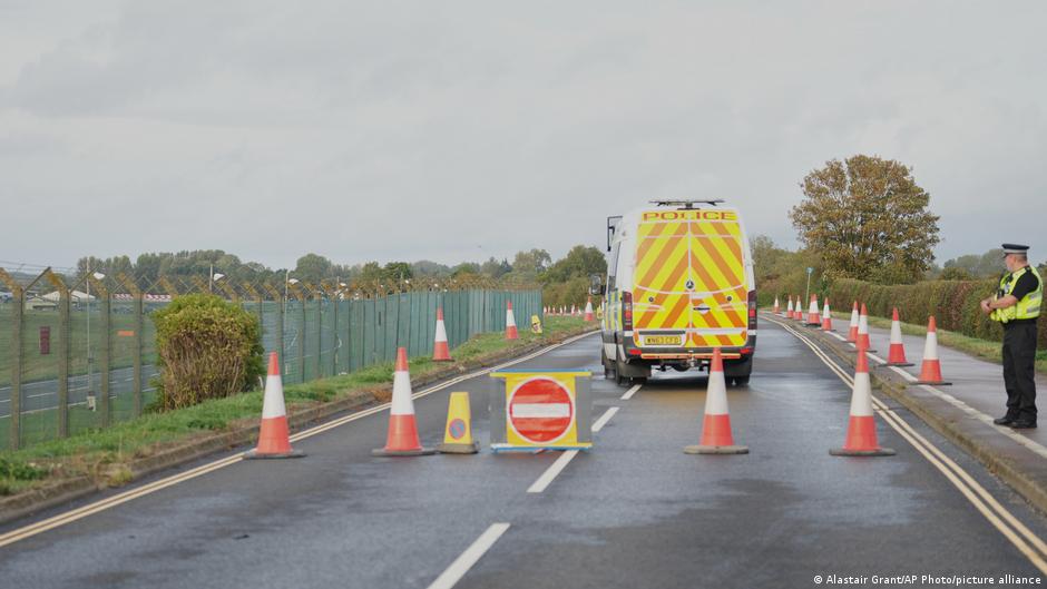
British police have arrested a British-Iranian national over an alleged plot targeting an air base, citing signs of Iranian involvement, while Tehran has dismissed the claims and summoned the UK's ambassador.

Egypt's 'Ghost SIM Lines' Scandal Pushes Officials to Confront Mobile Carriers
A string of cases involving mobile phone lines registered to people without their knowledge, including one that led to a life sentence, has triggered official action against Egyptian telecom operators, Deutsche Welle Arabic reports.